Goals and Objectives
This exercise was a continuation of obtaining information on
sand mines for GIS II. The goal was to find, geocode, and compare sand mine locations
gathered by myself and my classmates. Geocoding is the process of locating places
using information gathered via table or other informative sources. Sometimes
these tables have information that is not needed for geocoding and some of this
information is inaccurate. To fix this is called normalizing data which I had
to do to make my data legible.
Methods
I had to use the geocoding tool in ArcMap to find the sand
mines that were assigned to me. There are two methods of geocoding. The first
method is to use an address locator. By placing the address in the locator a
point appears on the map I was using to look for the sand mines. The other
method is to manually find a sand mine using an aerial image and then placing
the point on the map. I used the address locator technique because in the table
there was already a listed address which made it easier to find the sand mine.
There is the potential for interference as some addresses possibly could have
been incorrect or the point was not close enough even though the address was
correct. The second method was needed due to the fact that some of the
addresses were missing or were proposed mines that did not have addresses; and
in their place were descriptions of placement. An example of a description
would include sections and directions like southwest or southeast. After I had
placed all my points I entered them into the classes’ Exercise 6 folder for use
by myself and my classmates.
The next step in this process was to merge all of the
shapefiles together except for mine. A simple merge with the merge tool was
used to create a new shapefile in a geodatabase. Following this I had to query
out all the mines that had the same unique ID as mine. I made a new feature
class with these points and added in my points. Most of points lined up well
with my classmates and some were off. The final step in this was to use the
point distance tool in ArcMap. This tool measured the distance between the
placed points and displayed them in a table to view. Many off these points had
large numeric distances which could have been an operator error or a service
error.
Results
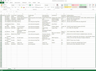
Below are images of my results including a map of my mines and my classmates mines, a point distance table, and before and after normalization of the mine table.
Here is the map of my mines and the same mines assigned to others. As you can see some are close and others have quite a distance between them.
Here is the distance table showing how far my mines were to other's mines.
Before normalization which includes unnecessary fields.
The table after normalization without any irrelevant fields.
Discussion
Errors do happen and this is due to two ways. One is inherent and the other is operational. Inherent errors happen because of the complexity of the real world and the lack of computational data to accurately represent these limitations. Inherent errors also occur because of usage of coordinate systems. Coordinate systems are not perfect and therefore must distort some feature of the Earth. Operation errors are errors that occur due to user errors and interpretations. A single misplaced keystroke could cause data to be useless. Other procedures can skew results like the wrong aerial interpretation or wrong usage of algorithms to solve problems.
Conclusion
This exercise was very helpful and useful. I had no idea how to geocode prior to this and it was also useful to help show that errors do occur in even the most important processes.
Citations
Lo, Chor Pang. (2013) "Concepts and Techniques of Geographic Information Systems." (2006)


No comments:
Post a Comment